
Why in news?
Government says, India’s satellite-based navigation system, NavIC, is as good as GPS of the United States in terms of position accuracy and availability in its service region.
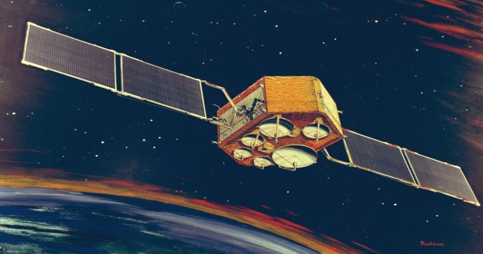
About India’s regional navigation satellite system (IRNSS) or Navigation in Indian Constellation (NavIC)
- developed by the Indian Space Research Organisation (ISRO).
- Designed to provide accurate position information service to users in India as well as the region extending up to 1500 km from its boundary, which is its primary service area.
- An Extended Service Area lies between primary service area and area enclosed by the rectangle from Latitude 30 deg South to 50 deg North, Longitude 30 deg East to 130 deg East.
- IRNSS will provide two types of services:
- Standard Positioning Service (SPS) which is provided to all the users.
- Restricted Service (RS), which is an encrypted service provided only to the authorised users.
- Consists of eight satellites, three satellites in geostationary orbit (GEO) and five satellites in geosynchronous orbit (GSO) with an altitude of about 36,000 km; GPS satellites are placed in medium earth orbit (MEO) with an altitude of about 20,000 km.
- NavIC uses dual frequency bands, which improves accuracy of dual frequency receivers by enabling them to correct atmospheric errors through simultaneous use of two frequencies.
Also Read : Family Courts (Amendment) Bill: Current Affairs Booster!
| Parameter | NavIC | GPS |
| Accuracy | Up to 5 meters | Up to 20-30 meters |
| Frequency | S-band and L-Band | L- Band |
- It also helps in better reliability and availability because the signal from either frequency can serve the positioning requirement equally well.
Some applications of IRNSS are:
- Terrestrial, Aerial and Marine Navigation
- Disaster Management
- Vehicle tracking and fleet management
- Integration with mobile phones
- Precise Timing
- Mapping and Geodetic data capture
- Terrestrial navigation aid for hikers and travellers
- Visual and voice navigation for drivers
Countries with own Navigation Installation System:
United States : Global Positioning System (GPS) – 32 satellites.
Russia : GLONASS – 26 satellites.
European Union : Galileo – 30 satellites.
China : BeiDou – 35 satellites.
Japan : Quasi-Zenith Satellite System (QZSS) – 4 satellites, 7 are planned.
India : (IRNSS-NAVIC) – 8 Satellites
Also Read : Nasha Mukt Bharat Abhiyaan (NMBA): UPSC Current Affairs!
Summary
Article Name
IRNSS-NavIC: UPSC IAS Current Affairs Booster!
Description
Government says, India’s satellite-based navigation system, NavIC, is as good as GPS of the United States in terms of position accuracy and availability in its service region.
Author
ufaber
Publisher Name
UPSC Pathshala
Publisher Logo
Show Comments